General Steps
On-land Visual Trash Assessment (OVTA) is conducted to assess changes in trash levels over time. OVTAs involve the following general steps for specified land areas with established baseline trash levels:
1. Schedule each OVTA so that it falls roughly half-way between reoccurring control measures (e.g., street sweeping) and does not follow a significant rainfall event (> 0.5 inches of rainfall occurring within 24-hour period before the assessment).
- Gather OVTA supplies and review trash condition category definitions (see below protocols for specific preparations, including site maps and tools for data collection).
- Visit each OVTA site and observe trash deposited in each assessment area using the appropriate protocol. Determine the score.
- Record the OVTA score and other relevant notes for each site.
- Enter Records into the OVTA Data Portal.
Specific OVTA Protocols
The links below provide access to each complete detailed OVTA protocol.
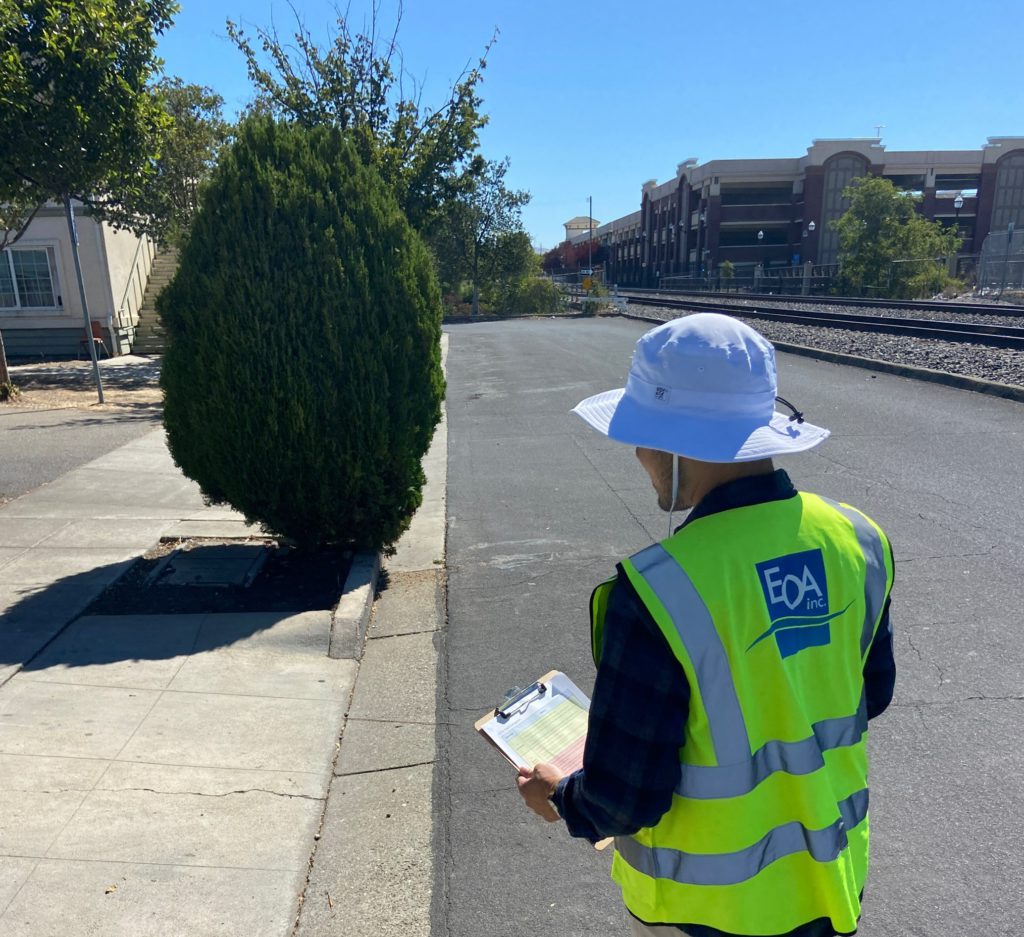
Use Protocol A if the site is associated with streets/sidewalks and has safe pedestrian access. Walk at a normal pace on the sidewalk along the assessment site. Team members should discuss their observations as they walk.
Use Protocol B (Driving) if the site is associated with streets/sidewalks but does not have safe or available pedestrian access (e.g., highways).
Use Protocol C (Area-Based) if the area of interest is not associated with the adjacent roadway or sidewalk (e.g., parking lots).
Other Resources
- Stormwater Trash Load Reduction Calculator
- OVTA Example Videos – to be added, stay tuned!